August 21st 2012
Background:
A few times a year I get the itch to solo something. It does not matter whether it is trekking, free solo rock climbing, or big wall soloing. What matters is that I get out there alone and I challenge myself. It is such a unique feeling that is hard to describe. I wanted to do something solo on this trip. I wasnt sure if I wanted to solo trek, rock climb or alpine climb. Eventually I decided to solo rock - since I was most comfortable in the medium.
Failed Solo Attempt - Rima Rima
The weather was terrible for 4 days straight...which conviently coincided with my rest days. I decdied on the fifth day to give Rima Rima a go. I had a beta photo and some information from friends who had climbed it that the ridge is class 4 and easy class 5. Perfect I thought...not so perfect was the reality. I got rained off during the approach and decided to turn around before reaching the ridge.

Turnaround Explanation
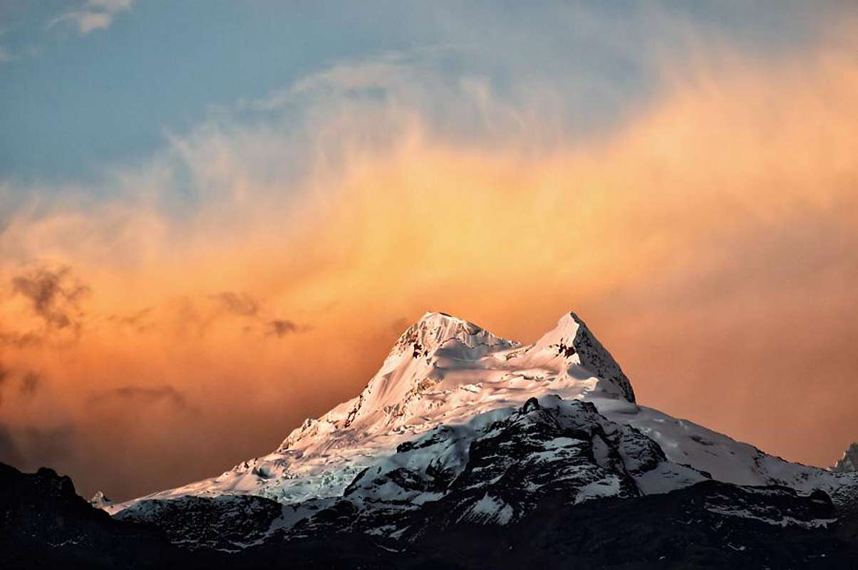
Second Solo Attempt - Vallanaraju:
I thought about a different peaks to solo and Vallanaraju stood out in my mind. Even with poor weather I could still summit. The peak is beautiful, its a simple climb and it is close to town. I had never soloed a glaciated peak - and in all
honesty it is not a practice that I would wish to continue on a regular
basis - but i decided to go for it.
 |
| photo courtesy of summitpost |
I would go light and fast. I would bring a liter and a half of water, one axe, one pole, helmet, double boots, some goos/fruit cup/candy and warm clothes. I brought fried rice in the car for when I arrived back. I would leave from Huaraz at 1am, arrive at 2:30am and blast straight to the summit. This climb is usually done in two to three days, but I was fit and acclimitized and wanted to see how I would do.

The Approach:
I probably should have gotten some better beta for the climb, all I had was a sheet of paper that said "Go to hut...path hut to glacier 2 hours..or another path that crosses bridge...join glacier at a col and loop left." This beta is fine if you have mapped out the approach or seen it during the day. However, at night when everything is black, it is hard to distingiush even rock from snow at a distance. I lost about two hours and a lot of energy seaching at various sections for the trail. At least I got some extra exercise!
 |
| Poor Beta |
As a result of the recent snowfall, there were no visable tracks on the glacier to start the climb. This is fine if you have a partner and are traveling roped, but no bueno if you are solo. I searched everywhere and I was about to turn around and head back to the taxi when I spotted some tracks up above. I then found some faint tracks at the start and I took off.
 |
| Spotting Tracks |
The climb was entirely tracked and super easy. I was blasting to the top and I think I was on snow just a little over two hours. I had made a mistake and had forgotten my sunglases (actually Tonys) so I improvised an eye covering with my baselayer to save my eyes from snow blindness.
 | ||
| Cool ice layers en roue to summit |

 |
| Summit in View |
 |
| Summit is Closer |
En Route
Summit:
I was the only one on the climb the entire day. I had the mountain to myself. The climb was easy, fun and rewarding. I enjoyed a fruit cup, some chocolate and some goo, then packed up to go down.
Shots from the Top
 |
| Summit! |
 |
| I was saving a fruit cup for this |
The Descent:
The descent started out well. I was blasting down the hill following Cairns (stacked rocks marking the way). All of a sudden they disapeared. Since I did the approach at night, I had no idea where I was. I decided to head down the gulley that I was in. What i should have done was stop and search for more Cairns. I descended 1,500 feet of mild to moderatly sketchy terrain. Wet 5.5 slabs and huge wheat plants covered in snow were my descent options. I thought that either way, the descent route would lead to the road and I could hike back up to the taxi. This was all fine and dandy until I reached a 400 foot cliff. Well, time to hike back up 1,500 feet of wet slabs and wheat plants. I hiked back up and found the trail. I was kinda upset at myself, so instead of hiking back to the taxi, I ran.
 |
| What the true descent looked like |
 |
| What the true descent looked like |
The climb itself went great. There was basically a snow trail to the summit and all the crevases were clearly visable. Soloing glaciers should be donelate season on trade routes when they are all tracked out - it is safer. The approach and descent were pretty bad for me. They added about four hours total. In the future when I choose to climb alone, I will bring my GPS with the "track back" function in my bag just in case I need to retrace my descent. This could be especially useful in a whiteout. I will also try to get better beta - but hey...getting lost and finding your way is really part of the journey!
Conclusion:
This was my last climb this season in Peru. Itwas a powerful trip filled with memories for a lifetime....
No comments:
Post a Comment