Tuesday, August 21, 2012

Vallanaraju Solo In A Day 8-21-2012

Vallanaraju (18,693 feet) Solo In A Day
August 21st 2012

Background:
A few times a year I get the itch to solo something.  It does not matter whether it is trekking, free solo rock climbing, or big wall soloing.  What matters is that I get out there alone and I challenge myself.  It is such a unique feeling that is hard to describe.  I wanted to do something solo on this trip.  I wasnt sure if I wanted to solo trek, rock climb or alpine climb.  Eventually I decided to solo rock - since I was most comfortable in  the medium. 

Failed Solo Attempt - Rima Rima
The weather was terrible for 4 days straight...which conviently coincided with my rest days.  I decdied on the fifth day to give Rima Rima a go.  I had a beta photo and some information from friends who had climbed it that the ridge is class 4 and easy class 5.  Perfect I thought...not so perfect was the reality.  I got rained off during the approach and decided to turn around before reaching the ridge. 

Turnaround Explanation

Second Solo Attempt - Vallanaraju:
I thought about a different peaks to solo and Vallanaraju stood out in my mind.  Even with poor weather I could still summit.  The peak is beautiful, its a simple climb and it is close to town.  I had never soloed a glaciated peak - and in all honesty it is not a practice that I would wish to continue on a regular basis - but i decided to go for it.
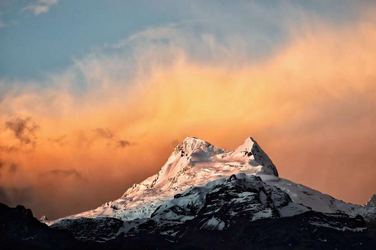
photo courtesy of summitpost
The Plan:
I would go light and fast.  I would bring a liter and a half of water, one axe, one pole, helmet, double boots, some goos/fruit cup/candy and warm clothes.  I brought fried rice in the car for when I arrived back.  I would leave from Huaraz at 1am, arrive at 2:30am and blast straight to the summit.  This climb is usually done in two to three days, but I was fit and acclimitized and wanted to see how I would do.

The Approach:
I probably should have gotten some better beta for the climb, all I had was a sheet of paper that said "Go to hut...path hut to glacier 2 hours..or another path that crosses bridge...join glacier at a col and loop left."  This beta is fine if you have mapped out the approach or seen it during the day.  However, at night when everything is black, it is hard to distingiush even rock from snow at a distance.  I lost about two hours and a lot of energy seaching at various sections for the trail.  At least I got some extra exercise!
Poor Beta
The Start of the Climb:
As a result of the recent snowfall, there were no visable tracks on the glacier to start the climb.  This is fine if you have a partner and are traveling roped, but no bueno if you are solo.  I searched everywhere and I was about to turn around and head back to the taxi when I spotted some tracks up above.  I then found some faint tracks at the start and I took off.
Spotting Tracks
The Climb:
The climb was entirely tracked and super easy.  I was blasting to the top and I think I was on snow just a little over two hours.  I had made a mistake and had forgotten my sunglases (actually Tonys) so I improvised an eye covering with my baselayer to save my eyes from snow blindness.  

I can totally see
Cool ice layers en roue to summit
Summit in View
Summit is Closer
 En Route
Summit:
I was the only one on the climb the entire day.  I had the mountain to myself.  The climb was easy, fun and rewarding.  I enjoyed a fruit cup, some chocolate and some goo, then packed up to go down.
Shots from the Top
Summit!
I was saving a fruit cup for this
The Descent:
The descent started out well.  I was blasting down the hill following Cairns (stacked rocks marking the way).  All of a sudden they disapeared.  Since I did the approach at night, I had no idea where I was.  I decided to head down the gulley that I was in.  What i should have done was stop and search for more Cairns.  I descended 1,500 feet of mild to moderatly sketchy terrain.  Wet 5.5 slabs and huge wheat plants covered in snow were my descent options. I thought that either way, the descent route would lead to the road and I could hike back up to the taxi.  This was all fine and dandy until I reached a 400 foot cliff.  Well, time to hike back up 1,500 feet of wet slabs and wheat plants.  I hiked back up and found the trail.  I was kinda upset at myself, so instead of hiking back to the taxi, I ran. 
What the true descent looked like
Discusion:
The climb itself went great.   There was basically a snow trail to the summit and all the crevases were clearly visable. Soloing glaciers should be donelate season on trade routes when they are all tracked out - it is safer.  The approach and descent were pretty bad for me.  They added about four hours total.  In the future when I choose to climb alone, I will bring my GPS with the "track back" function in my bag just in case I need to retrace my descent.  This could be especially useful in a whiteout. I will also try to get better beta - but hey...getting lost and finding your way is really part of the journey!

Conclusion: 
This was my last climb this season in Peru.  Itwas a powerful trip filled with memories for a lifetime....


Thursday, August 16, 2012

Alpamayo French Direct 8-11 to 8-15-2012

Alpamayo French Direct  
August 11th to August 15th 2012

Background:
Climbing Alpamayo was the alpine goal of my trip.  I had seen photos of Scott Swaney and Aysel Gezik on the route one year ago and I was instantly attracted.  The climbing looked "bad-ass."  It was such a beautiful line on such a beautiful mountain.  So this year I decided to get more serious about ice climbing so that I could have a shot at climbing the route. I logged some milage at Lee Vining and in Ouray Colorado and I fine tuned my skills so that I would be confident leading ice at over 19,000 feet.  I met Shawn Collins on this current trip in Peru who had climbed the route a month before me and his summit photo further inspired.

The Route:
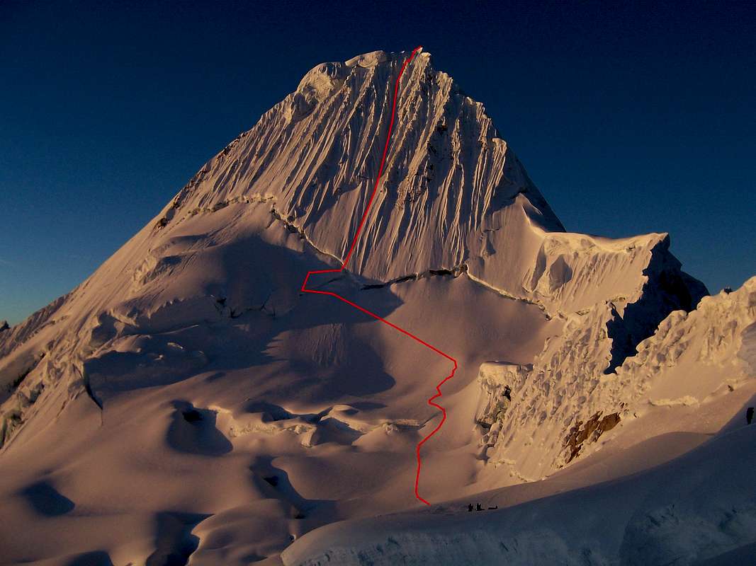
We wanted to climb the French Direct Route (D+) on Alpamayo at 19,511 feet.  It was in great shape this season and we were both strong and acclimitized, so we felt like we had a good shot at the summit. 
Photo Courtesy of Summitpost

The Plan:
Roger and I decided that weather would be the determing factor of whether or not we would summit.  It was later in the season and the crowds had diminshed, but the weather was becoming a little more unstable.  We decicded if we packed into high camp with four days of food, we would wait out any weather and have the greatest chance of summiting.  So we packed eight days of food and set off.

The Approach:
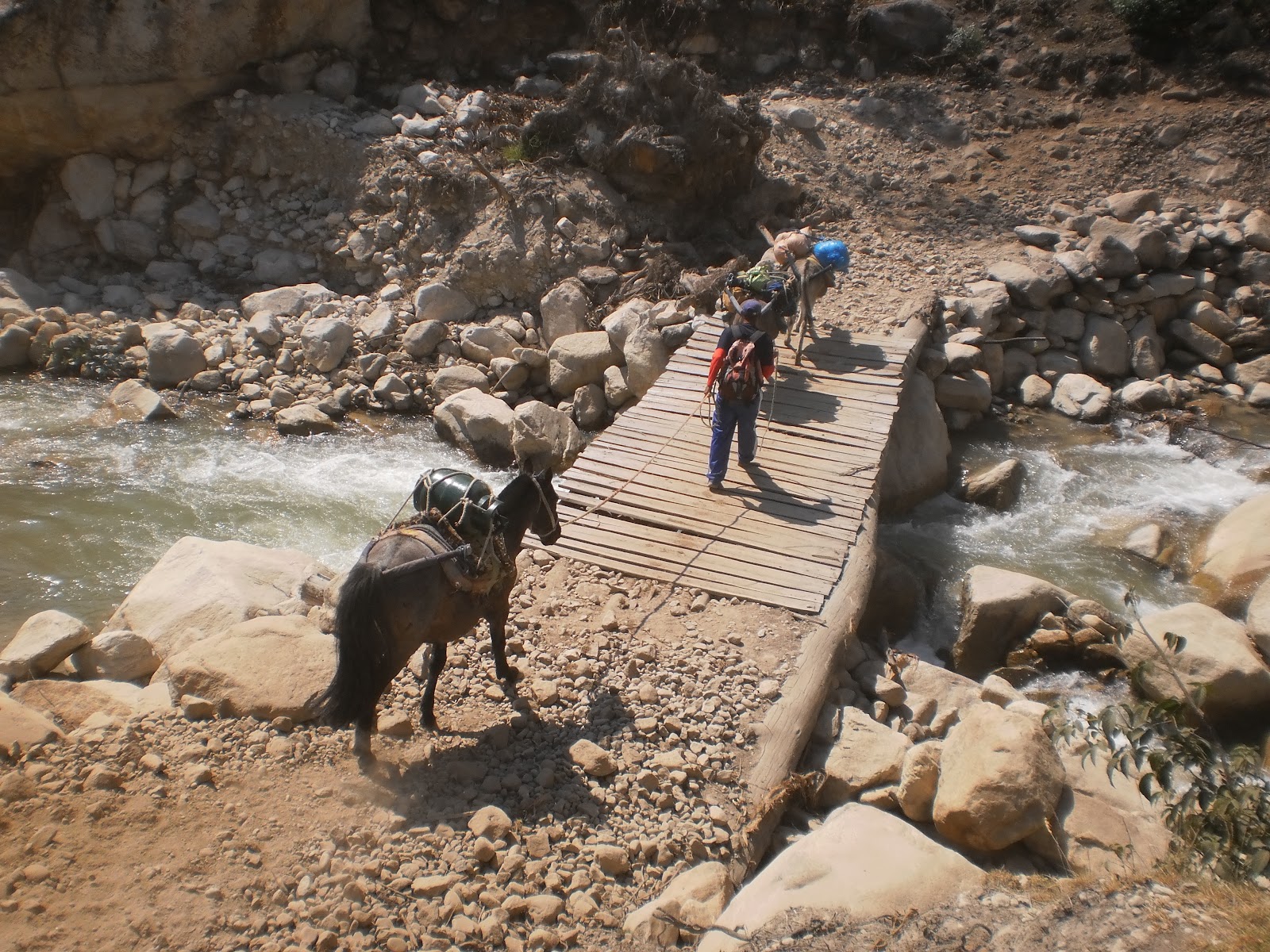
Alpamayo is not the easiest mountain to get to.  We took "public transportation" from Huaraz to Caraz and a private taxi to the Santa Cruz Trailhead in Cashapampa. Total driving time was three hours - half of which is on your standard Peruvian Alpine Road (nauseating dirt trails winding up into the mountians).  We hired two donkeys to take our gear and food to Llama Coral for the first day (7 miles) and to base camp (7 miles) the next day.  The first two days of hiking were easy trails and followed the popular Santa Cruz Trek.  On day two we said goodbye to the mules and loaded up our packs with five days of food and hiked the heavy load up to the moraine camp.
Donkeys crossing the bridge
Roger herding our two donkeys
Packing up our food
Moraine Camp:
We hiked from base camp with our heavy loads up winding trail and talus to a beautiful moraine camp location.  We set up our tent, had some dinner and got some good sleep, knowing that the next day would be a long one.


Moraine Camp to High Camp:
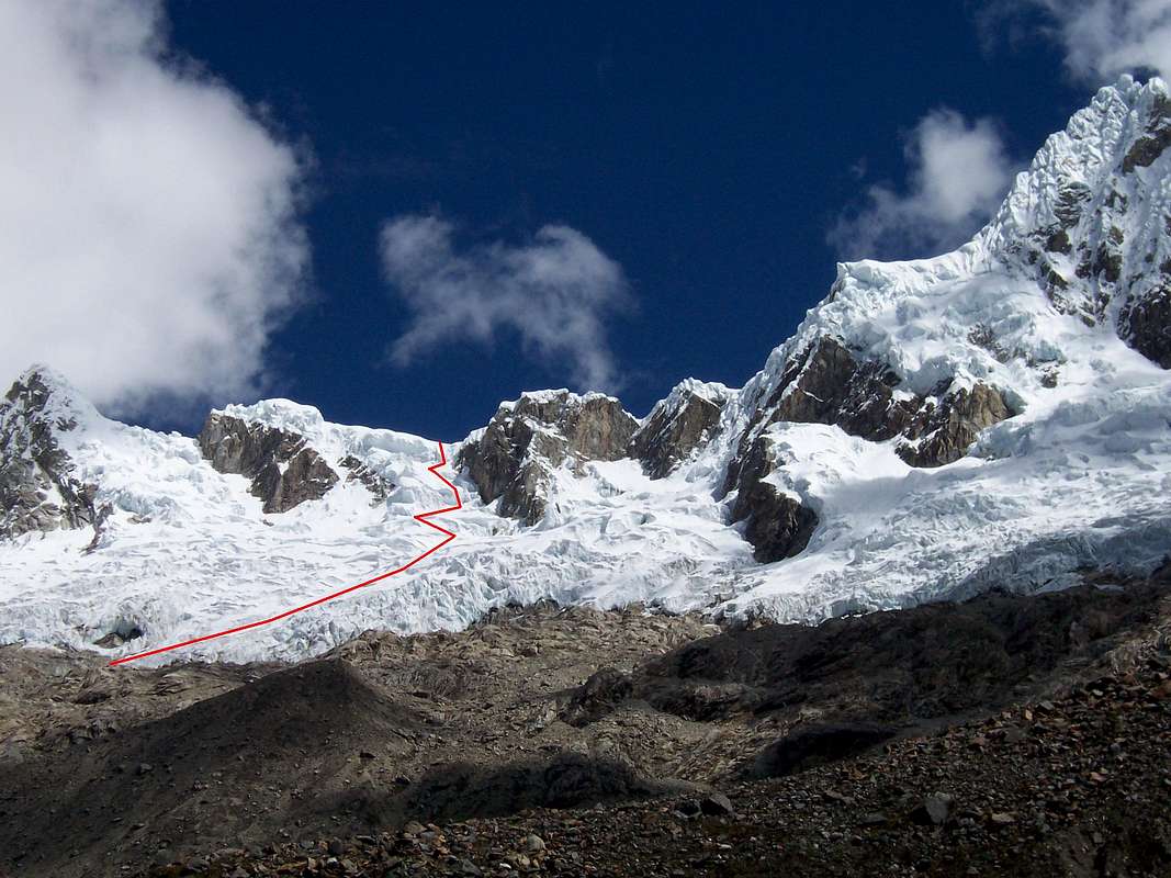
We got an early start the next morning and hiked to the base of the glacier.  We roped up and winded through broken crevases to col that allowed us to access the southwest face of the mountain.  Our bags were REALY heavy because of the additional food that we decided to take.
Photo Courtesy of Summitpost
Approaching the Col
The final steep section over the Col
Making it over the Col
Arriving at High Camp
High Camp:
We arrived at high camp and set up shop.  We started brewing some hot water for tea and scoped the route.  I started looking for our second gas cannister and asked Roger where it was.  We had made a mistake and had not brought it.  We only had 3/4 of a gas cannister.  At this altitude it would last us a maximum of two days.  Two days of fuel with four days of food meant that we only had two days that we could wait out weather.  Luckilly Roger found another half empty fuel can that someone left on the mountain - so we were able to relax a bit more.  However, I was not concerned - I had a feeling we would summit the next day and would not need any of the additional fuel.
17,717 feet high camp
High Camp
View from the tent
 High Camp Relaxing
Leaving the Tent:
We woke up at 1:30am and got geared up for the climb.  I was optimistic as I heard no wind the entire night.  There was some light snow fall on our tent, but the air was calm.  At 2:30am, We hiked up moderate snow to the base of the bergschrund.  A guide and his client (Peter) were on our tails.  The guide had lied to us when he told us that he was leaving at 3am - we were not happy.  This is a route that you want to be first on.  If you are not first, there is a high likelyhood of being hit by ice missles from climbers above - especially if the client is an inexperienced climber.  

The Bergschrund
We got to the bergchrund and played "Rock, Paper, Scissors" to see who would lead.  Roger won and took the sharp end.  When he got to the crux section, he placed a picket in soft snow and fooled around for about five minutes.  He finally commited, pulled the difficult move onto the face and belayed me up.  I later found out that the guide was scared to lead the section and waited for Roger to lead it then had Roger belay him past the section.
The Climb:  
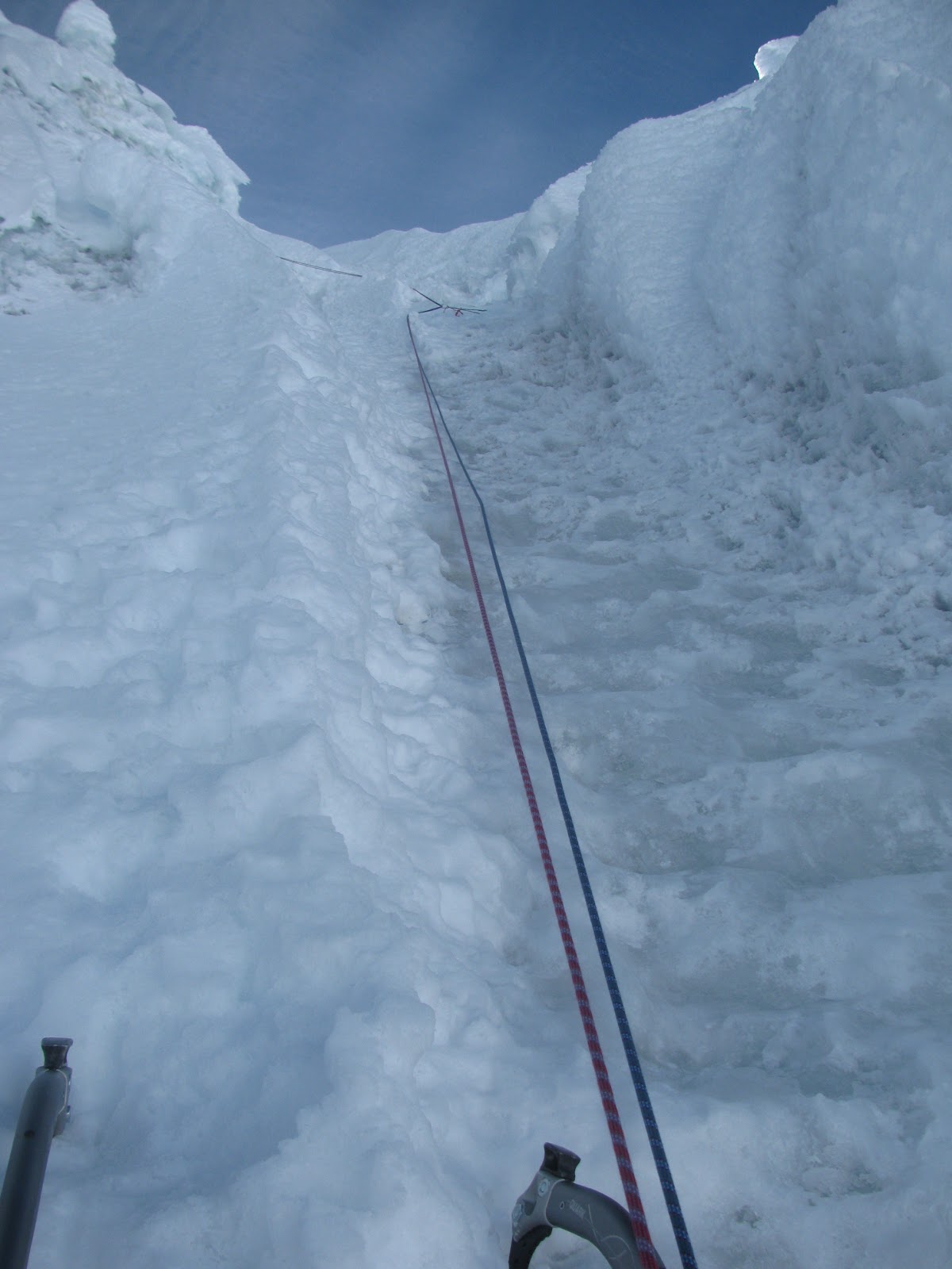
The climb was amazing.  The ice was perfect and the setting was incredible.  The coulds were below us as the sun rose and Roger and I were cruising.  It wasnt until the last two pitches that the guide passed us using intermediate belays.  It was at this point that Peter (who didnt know how to belay, how to hold an ice axe, or how to ice climb) was above us sending ice missles with every botched foot placement and heavy swing of the ice tool.  This was not cool when you are leading and are 30 feet above a screw.  Regardless of the ice debri, both Roger and I were able to lead our respective pitches comfortably.

Summit:
I felt like a machine on the last pitch.  Six weeks in Huaraz in the mountains had allowed me to become very fit and acclimatized. We tagged the summit and were celebrating but Roger was not feeling well.  The altitude had gotten to him (possibly also because he was on antibiotics for stomach problems) and he had a headache and low energy.  We spent 10 minutes on the top of the climb - had a fruit cup - and decided to rapell down.
Belaying Roger up the last section
Summit Baby
Summit View
Descent:
We joined ropes with Peter and his guide and rapelled to the base.  Below are some photos of other parties rapelling the route.
Back at Camp:
Roger was not feeling well at all.  We decided to take two hours to eat and rest.  He had symptoms of acute mountain sickness - high resting heat rate, increased respatory rate, headache and fatigue.  We decided to descend quickly.  We joined ropes with one Catalan and one Andorran (Xavi and Oriol) as we negotiated the crevasses and hiked down to Base Camp arriving at 8pm.  I had barely eaten the entire day (a Tiger Milk bar, two goos, a fruit cup and a liter and a half of water) and my pack was easily 65+ pounds especially because it was filled with wet gear.  I ate some gummy worms for dinner (healthy) had a sip of water, pulled out the sleeping bag and crashed.


The Next Morning:
We awoke the next morning with partially wet sleeping bags (it had lightly rained that night) and frost covering everything.  We looked like two homeless men living out of our backpacks.  We were neighbored by two expeditions with glamorous circus tents, cooks, porters and guides.  Peter and his guide felt sorry for us, so they invited into their tent for breakfast.  In their tent we ate the best we had eaten on the enitre trip.  They made sausage, eggs, bread, butter and jam.  This was heaven.  We thanked them (The breakfast partially made up for the ice missles sent down during the climb) and worked on our next task - figuring out how to get a donkey to carry our gear back 14 miles to trailhead. 

Best Breakfast Ever

Donkeys:
Roger and I had miscalculated funds and didnt have enough money to hire a donkey and pay for transportation to make it back to Huaraz.  We got in touch with Xavi and Oriol who we joined ropes with on the descent and they were amazingly helpful.  Not only did they let us add our gear to their donkeys, but they also hiked out with us (14 miles) and let us ride for free in their private van.  Roger and I made it back to Huaraz by 8pm and we were both painfully hungry (all I ate that day was the nice breakfast, an orange and gummy worms).  Roger and I had exactly 20 Soles (7 dollars) between the two of us - so we went to Chifa (Peruvian Chinease Food) and ate our fill of fried rice and chicken.
Scruffy But Happy --- Dinner Time
Two Days Later - Clean Cut!
 Discusion:

What a beautiful climb and perfect timing with weather.  This trip concluded my technical expeditions in Peru and capped a trip filled with powerful experiences.

An interesting viewpoint comes up about guided expeditions.

First my bias:  I am all for people using guides in the mountains.  I think it is a safe and smart practice and it enables you to climb routes with the comfort of a professional.  However, I think there are a few rules you must follow when hiring a guide and choosing a climb.

1.  The guide you hire must be certified by a professional organization to ensure they have passed all of the tests related to safety.  This by no means assures that they are qualified, but it is at least a starting point.  I don´t believe that the guide on the route was fully certified. 

2.  You must know the mandatory essentials of climbing (belay, rapell etc..) and basic saftey skills of climbing (escaping a belay, crevasse rescure etc...) if you choose to climb a technical route with a guide.  Peter knew none of these.

3.  You must have at least a weekend of practice in the medium of choice before you head into a remote mountain region.  I.E. know how to swing an ice axe or hand jam a crack

4.  You must choose a climb that is within your ability level.  You cant just look at a picture of Alpamayo and say "I want to climb that" and find someone to take you up it.  You should progress gradually to a climb of that level through time and patience until you have the skillset to climb it in good style.

On the mountain we encountered two polar opposite demonstrations of the use of a guide and expedition services.  One was the guided service of the client who knew nothing and one was Xavi and Oriol who hired a guide "just in case" but chose only to use him for logistical support.


Thursday, August 9, 2012

The Road To La Esfinge 8-4 to 8-8-2012

The Road To La Esfinge
August 4th to August 8th 2012

Background:
I had dreamed of climbing La Esfinge from the day I heard about its existance four years ago. I had traveled to Hauraz to climb but I had very little time or experience.  I ended up getting altitude sickness and decided to spend my time trekking instead of climbing. While I was in Huaraz, I heard rumors of a "Big Wall" nestled deep in the Andes called La Esfinge.  I knew nothing of the difficulty of the climb, I only saw a photo.  I was instantly intriguied and I dreamed of climbing it.

This was the photo
Four years later brought me to Huaraz again.  I had built up my experience and I had much more time.  I had climbed several "Big Walls" with partners and solo and I had seven weeks to acclimitize and train. I wanted to climb La Esfinge and I had everything necessary, I just needed a partner.   I searched for four weeks for partners.  They were difficult to find.  I put my information in every coffe shop and guide service but I had no response.  I was about to give up hope when I met Roger and Augusto.  They were both staying the same hostel and wanted to climb the route at the same time.

Partners:
Roger is Catalonian and is student in Engeneering.  Augusto is from Argentenia but worked as an orthopedic surgeon in Spain before quitting his job to travel and climb.  They were both super strong climbers, spoke good English and were fun to be around.

Hatun Machay:
We decided to go to Hatun Machay to train for the climb and get comfortable with each others skills.  Hatun Machay is touted as the highest sport climbing crag on the planent at 14,000 feet.  Augusto took his car (he had driven from Argentina) and the three of us and Tony all jumped in the van and took off.  Winding up the rocky hills up to Hatun Machay was fun and it was only 1.5 hours form Huaraz.  Riding in Augusto's van was an experience in itself as we had to push it up a hill when it broken down to jump start it.
The Beater Car with Roger and Tony
Sport Climbing Strong at 14,000 feet
I was happy to get off the snow and back on some rock.  We spent two days at Hatun Machay.  We did several fun routes mostly 5.10c-5.11a.  I onsighted all the routes except one where I broke a hold and fell 10 feet.  I felt strong and was happy to send two routes at 11a onsight at such a high elevation.  After the fun climbing, we would go back to the hut, play chess, eat and then head to the field to camp.


Packing:
After Hatun Machay, we had half a day to prepair for the climb.  We went to the local market and got our food together.  Just as we were picking our dinner, the power went out and we continued to shop by candle light. 

Plan:
Our plan was to do the route in two days.  It is 18 pitches and is very runnout at the top, so this would give us plenty of time and would allow us to top out in the sunlight.  We would travel with two half ropes as a party of three.  We brought a double rack with micro cams, a set of stoppers and 11 draws.  The two followers would each carry a backpack.  Inside would be food.  We packed two sandwiches and three candybars for lunch and pasta with chicken for dinner.  We would bring 1.5 liters of water per person per day.  I had a zero degree bag, Augusto and Roger shared one with a bivy sack.  We each brought a baselayer, fleece, down jacket and rain jacket.  This was as light was we could get the bags but they easily weighed 20 pounds each. It was an extreme hassle to climb 5.10 at elevation with a 20 pound pack, but we made due.

The Route:
Imagine the summit of Mount Whitney.  Now add 1,000 feet and put half dome on top of it.  This is La Esfinge.  The Mountain is 17,470 feet and tucked away in the Paron Valley high in the Andes.  We chose to climb the original route. It is rated 5.10R C1.  The "R" rating is for the first 5 pitches after the bivy that go at 5.9 and have little to no protection options (unless you have hybrid aliens).  It consists of fun but heady grooved granite climbing.  The cracks are flaired and bottomed out making great foot placements but horrible protection options.  I had little worry with the first half of the climb and was excited about the "off width chimney" but a had a little concern about the runouts in the upper pitches.  
Me posing with La Esfinge in the Background
The Approach:
We took a taxi to the Paron Valley and hired a porter to shuttle our technical gear and food to the base of the climb.  The bag we gave him was 70 pounds and he had a lot of trouble hiking it up and had to stop to catch his breath every few minutes.  So we took away twenty pounds and put it in our packs and continued up to the base of the climb.  I am not sure what to think of the common practice of hiring donkeys and porters but it was a great help and gave us more energy for the next day.


Company:
On the way to the climb, we met two young Peruvians from Lima who were going to climb the same route the next day.  They were sponsered by North Face and had brought a film crew for the climb.  They seemed like strong climbers but lacked experience.  They wanted to climb it in one day but had not thought of bringing a a bivy sack just in case they couldn't climb it - so Augusto lent them one.  They ended up starting after us and bailing on the 6th pitch.

The Cave Bivy:
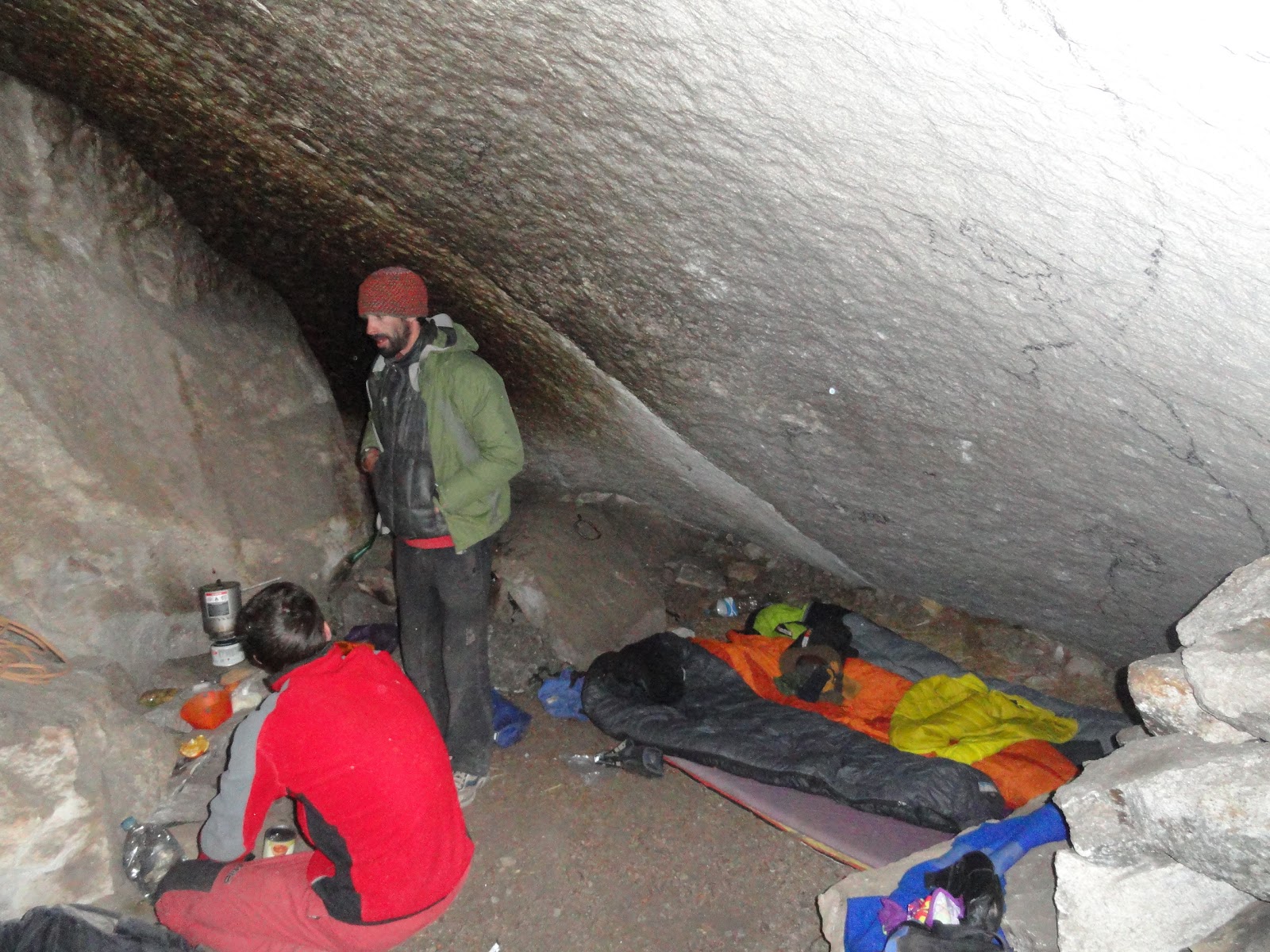
We were told that we could bivy inside a cave five minutes from the base of the climb.  This must have been the coolest bivy that I have ever had.  A huge cave all to ourselves.
Outside of the Cave Bivy
Inside of the Cave Bivy
At night in our Cave Bivy

Day 1:
We woke up and approached the climb as the sun was rising.  As I put on my climbing shoes, my toes went numb.  My fingers were numb as well.  I shoved them in my pockets; took a deep breath and set off.

Pitch 1-3:
Augusto began to lead the first three pitches and their description is as follows.

Pitch 1: 30m 5.8 Climb up broken and somewhat vegetated rock to a nice belay.
Pitch 2: 30m 5.8 Continue up crack system and out right underneath a rotten black lichen encrusted roof.
Pitch 3: 30m 5.9 Move up and left arching up under a bulge clipping a few old bolts. Belay at a ledge.
Augusto started on the fourth pitch (an offwidth chimney) but backed down and asked if Roger or I could lead it.  I took the sharp end.

Pitch 4: 40m 5.9+ Climb a crack back left to a ledge and an offwidth chimney with wedged blocks inside. 

Pitch 5: 50m 5.9 Move up a chimney with face holds inside. At top of the short chimney move out left on face holds and climb on face features between two cracks. At the top of this pitch pull the 'Blob Mantle' of grass and dirt onto a ledge and belay.

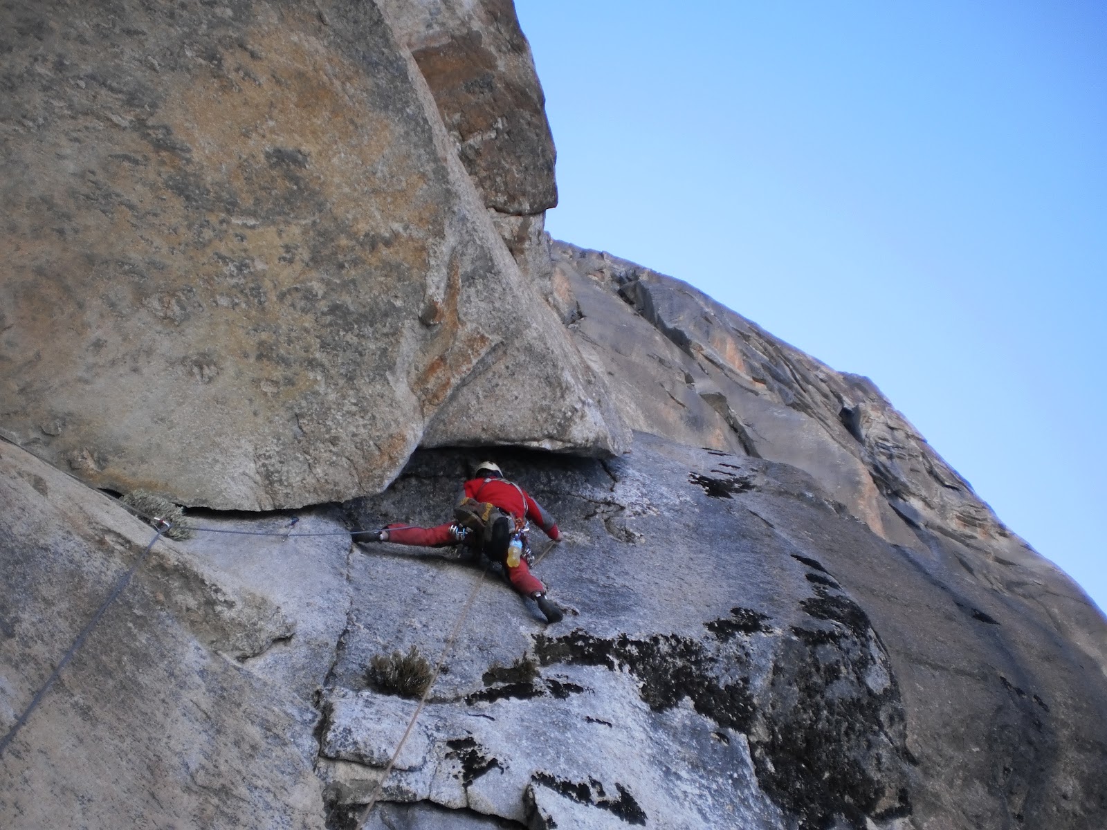
Pitch 6: 50m 5.10d  This pitch was sick and was the crux pitch.  Continue up 5.9 cracks to under a large roof. Move right out the handcrack in the roof, turn the lip and continue up a well protected fingercrack. Belay at a good ledge. After this pitch, I handed the sharp end to Roger.

Pitch 7: 30m 5.10+ Move up a corner to a massive roof. Again move right underclinging a widening crack. Turn the corner of the crack and continue up a slab to a bolted anchor.

Pitch 8: 45m 5.10+ Climb up to a wide ear type feature with bolts. Move right around the ear on slick rock (several old bolts). Continue up and traverse back left to bolts on a good ledge. 
Pitch 9: 25m Easy 5th class
Move the belay horizontally left and slightly up to a the base of a 5.9+ corner.  We pitched this section out and set up our bivy at Faj De La Flores.

Night 1 Bivy:
We arived a Faja De Flores.  We were dressed in all of our layers and our hands and toes were still numb.  We immediatly got out our sleeping bags and set up our bivy.  It was crammed but tolerable. We ate our pasta and then went to bed.  The wind howled all night and even though I was in a 0 degree bag, I was still cold.  I was crunched up between a rock and a ledge but managed to have a decent night sleep.
Setting up Camp
Stuffed in Our Bags at theBivy
The Sunset from my sleeping bag
Day 2:
We woke up at 6:30am after a night of cramped and windy sleep.  It was very difficult to get out of the slepeing bag and put on the harness.  The wind was howling at 25mph and it was escpecially cold because of the high elevation.  Roger shined on the second day as he lead all off the 5.9 "R" rated pitches.  He was on a roll and I told him to keep going until he got tired. 

Pitch 10: 20m 5.9+ Climb a vegetated but nice crack to a bolted anchor on a ledge.

Pitch 11-14: 5.9R and Pitch 14-17 5.7R From the belay traverse left and access a lower angle groove. Continue up this groove system for about 500ft to where the wall becomes steeper. Much of the climbing through these pitches is run-out!


Pitch 17-19: 5.9  There are several options here with the easiest being to generally traverse up and rightward.  After Roger relinquished the lead, Augusto took over for one pitch and then I lead the final pitch to the summit.
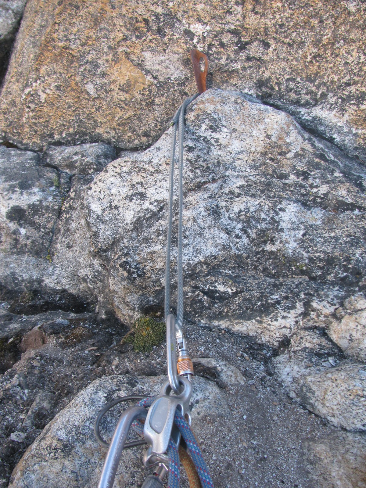
A Belay off of a single old piton
Arriving two pitches before the summit
Summit:
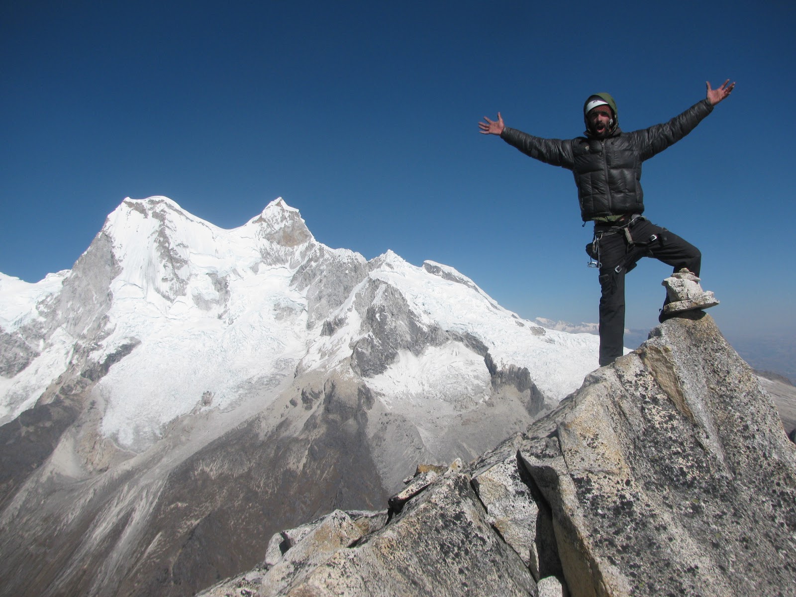
After the final pitch of the route, Roger and I went to tag the summit.  We reached it at 3pm.  We unroped and climbed up to the fourth class for some stunning views.  Augusto was not interested in the summit, he just wanted to climb the route, so he rested in the sun and took some geat photos.
Great Summit Shot
A Dream
Perfect panorama


Lunch In Caraz:
We slept in the next day and hiked down to the Paron Valley base.  We then took a collectivo out to Caraz.  It was an hour and a half ride down the rocky gravel road crammed in the back seat.  We all just wante to get to town and wash our hands and eat some good food.  We made it to Caraz and celebrated with a huge two dollar meal consisting of rice, curry chicken, soop, drink and happiness.
Video:
An edited video from Augusto of the climb